
Working with the accident data
Aneesh Makala
20 March 2016
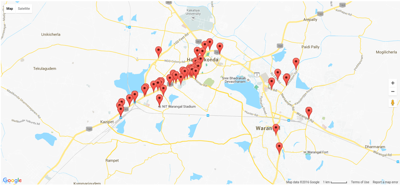
So, earlier, we had contacted one of the Civil Engineering Professors(KVR sir) and procured Warangal’s accident data from 2008 - 2013. The data contained bare locations (in name) along with the no of persons injured/died in the accident.
But, we had a more precise idea of a location. We required the exact latitude and longitude of the location. So I googled around a bit, and ofcourse, there was the GoogleMaps Geolocation API. I tried using it, but due to inaccurate naming of the location fields in our data and a few other reasons, I was unable to get the correct latitude and longitude for each location. Some values were very far off. Hence I took to webscraping and did a manual Google Map search and retrieved the most relevant latitude,longitude pair for the 300+ accidents’ data we had. I was careful not to get myself be blocked and kept a timeout while scraping!
Once I had the data points, it was only a matter of displaying them on a map. I had previously worked with google maps and django. Hence, I had the map up in a matter of minutes! Here’s how it looked.
But, then we decided to move our architecture to Meteor. I was excited because Meteor is Javascript, something new to learn! I have just ported the map to Meteor.
We will proceed by building an algorithm that can identify accident-prone zones. We are currently looking at DB-SCAN. I met with Dr. Subramanyam(Our Data Mining professor) a couple of days back. He suggested a few methods. Looking forward to implementing one.